
While humans have not set foot on the Moon in over 50 years, multiple spacecraft and rovers have surveyed our closest companion in great detail for decades. Since 2009, the Lunar Reconnaissance Orbiter has orbited the Moon, collecting data in order to map the Moon’s surface and identify potential landing sites and resources for future lunar missions. A recent study focuses on the Moon’s north pole, using data from the orbiter to create new highly detailed maps.
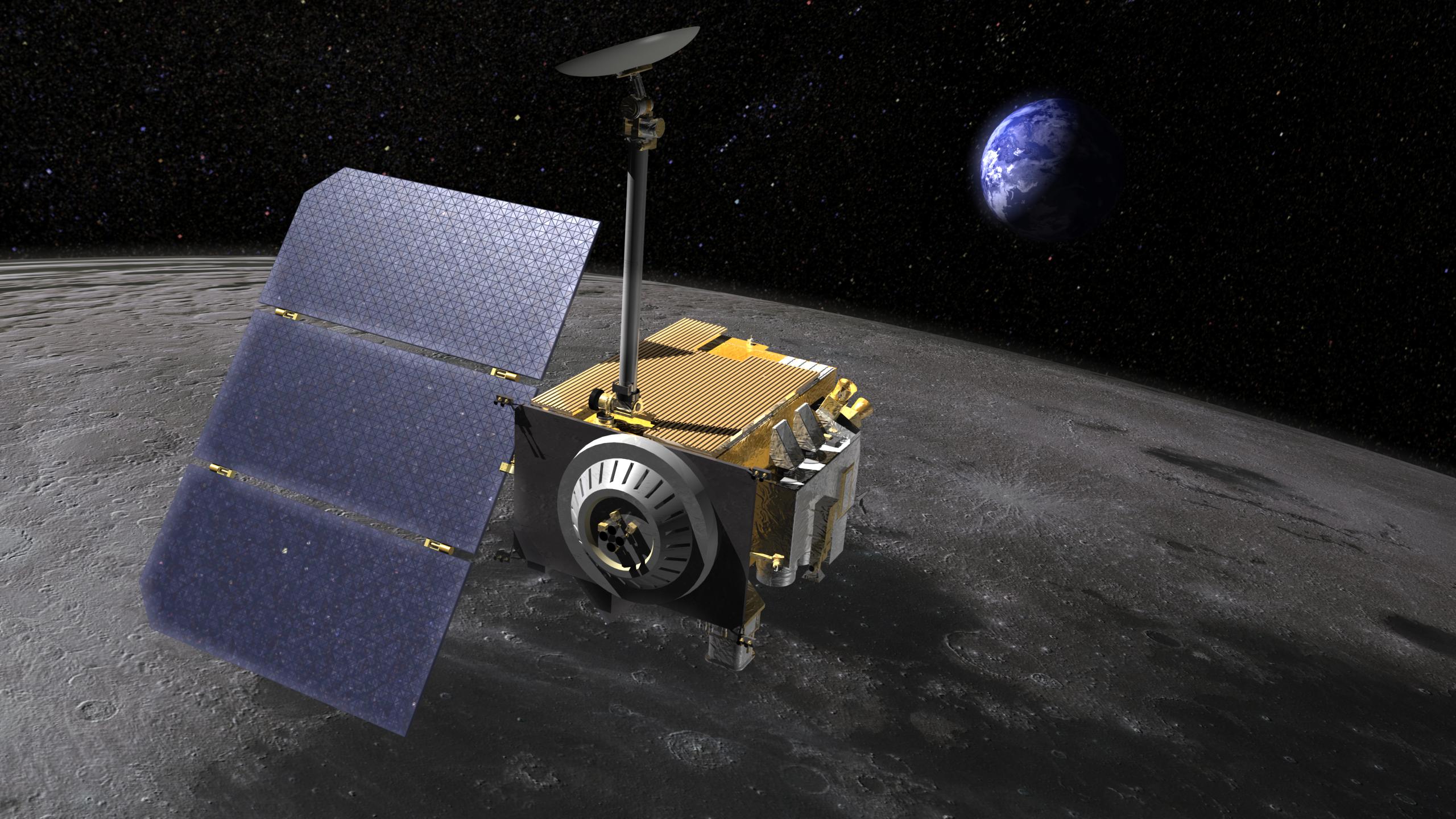
Artist’s impression of the Lunar Reconnaissance Orbiter orbiting above the surface of the Moon. Click to enlarge. [NASA/GSFC]
Navigating the Moon’s Surface
When making the 238,900-mile journey to the surface of the Moon, it’s important to be able to stick the landing. After being pelted with rogue solar system rocks for billions of years, the Moon’s surface is home to thousands of craters, making peaks and valleys that vary significantly depending on where you land. Thus, having a detailed understanding of the Moon’s surface is imperative to choosing where to aim and knowing what can be accomplished once we get there.
In recent years, researchers have created detailed maps of the Moon’s south pole to identify regions with rough terrain, boulders, steep edges of craters, and flatter areas safer for landings. In addition to mapping geological features, these studies have found candidate water-ice sources that will be targeted in future missions. With continued observations, higher-resolution studies can reveal more detailed information about other regions on the Moon as well.
Mapping the North Pole
Recently, Michael K. Barker (NASA Goddard Space Flight Center) and collaborators used data from the Lunar Orbiter Laser Altimeter (LOLA) on the Lunar Reconnaissance Orbiter to produce high-quality topographical maps of the Moon’s north pole. LOLA uses a laser to measure variations in the Moon’s surface, and from this information, the authors computed new maps of the surface height, slope, and roughness — how bumpy or uneven the terrain is — in the north polar region. The new surface height and slope maps provide information regarding regions of high and low elevation as well as how rapidly those changes in elevation occur. Additionally, the authors created a new high-resolution map of permanently shadowed regions — areas never hit with direct sunlight, keeping any possible traces of water ice cool and intact.
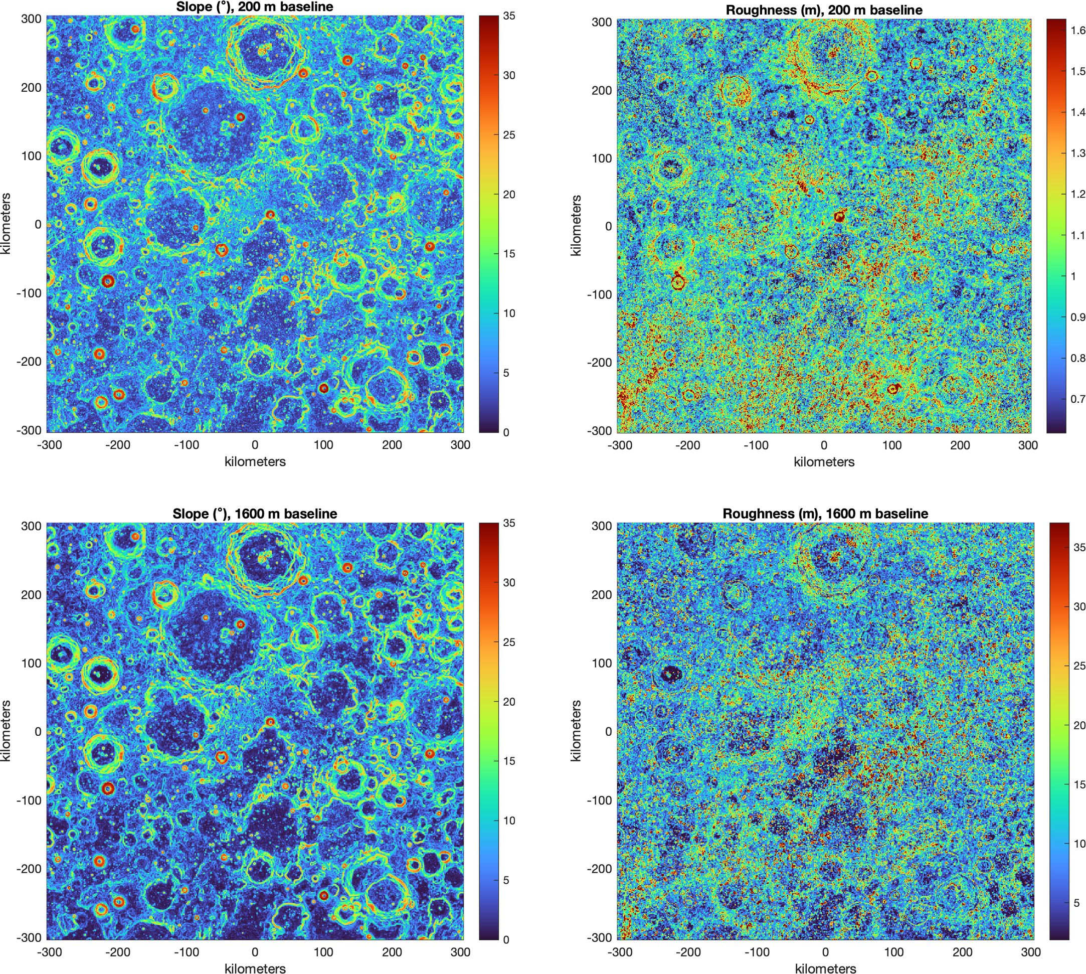
Lunar surface maps of slope (left column) and roughness (right column) across smaller (top) and larger (bottom) spatial scales. Click to enlarge. [Barker et al 2025]
Where do these results take us? The differences between the north and south poles motivate further exploration of both locations. Future human and robotic missions will allow for more robust studies of the Moon’s surface, which will test for the relationship between surface features and subsurface ices, explore the geography on much smaller scales, and set the grounds for sustained science on the Moon.
Citation
“Large-Scale Roughness Properties of the Lunar North and South Polar Regions as Measured by the Lunar Orbiter Laser Altimeter (LOLA),” Michael K. Barker et al 2025 Planet. Sci. J. 6 83. doi:10.3847/PSJ/adbc9d